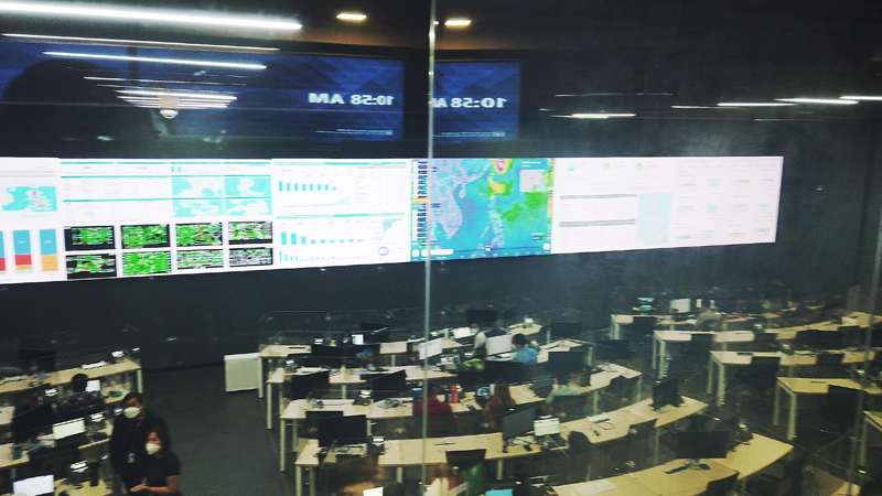
“The Group’s mission-critical manpower and equipment are on standby, as weather bureau PAGASA has reported that ‘Mawar’ has reintensified into a super typhoon, moving generally west northwestward towards the sea area east of Extreme Northern Luzon,” said Cathy Yang, First Vice President and Head of Group Corporate Communications at PLDT and Smart.
PLDT and Smart are also in close coordination with pre-positioned response teams that may be deployed to affected areas along the routes of ‘Mawar’.
‘Mawar’ is expected to enter PAR on Friday evening or Saturday morning, which may bring heavy rains over Cagayan Valley starting Sunday until Tuesday next week.
Most areas of the region may also experience strong to gale-force weather conditions except Batanes and Babuyan Islands which are anticipated to experience gale to storm-force conditions. Raising Tropical Cyclone Wind Signal may be expected in the coming days.
However, PAGASA advised to consider the potential shifts in the direction of ‘Mawar’, causing changes in its impact. ‘Mawar’ may enhance the Southwest Monsoon, which may cause rains over the western portions of Luzon and Visayas beginning Sunday or Monday. This scenario may still change depending on the super typhoon’s track and intensity.
We urge everyone to take necessary precautions and heed the alerts and warnings of local governments and disaster response authorities.
#SafeandSmart
Liked this post? Follow SwirlingOverCoffee on Facebook, YouTube, and Instagram.


